Biking and Hiking New Zealand - Coromandel
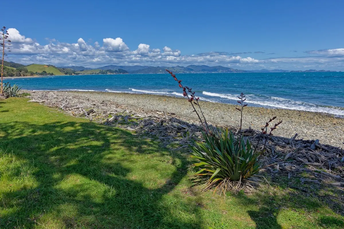
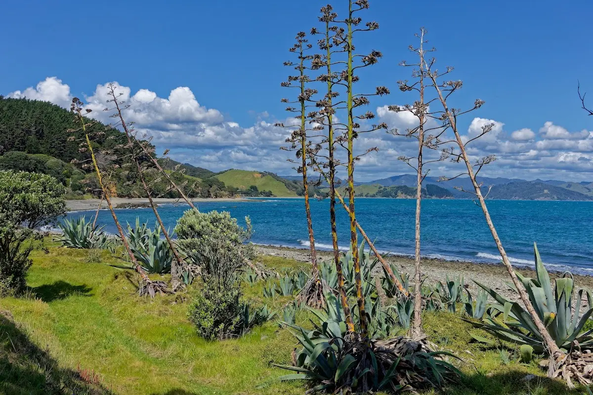
Up early to catch the 7:30 a.m. ferry to Auckland, then transfer to another ferry at 8:45 for the two-hour trip to Coromandel, with three stops at islands along the way. The jetty is about 10 km south of Coromandel town. Gold was discovered here in 1852, and some of the old mining sites can still be visited. From Coromandel I rode via Colville north into a dead end: Fletcher Bay. It is a very isolated place, with many pōhutukawa trees above turquoise water. I did not arrive until 16:15 — five hours from Coromandel. Today: 85 km in 5 hours 23 minutes. In the evening I walked part of the Coromandel Walkway. The area is really fantastic. Everyone talks about Ninety Mile Beach and the kauri forest, but for me the traffic in the far north near Auckland was much less appealing than this.
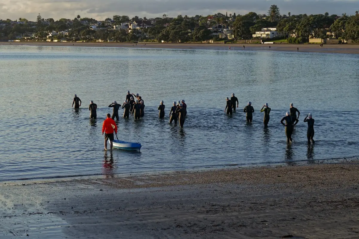
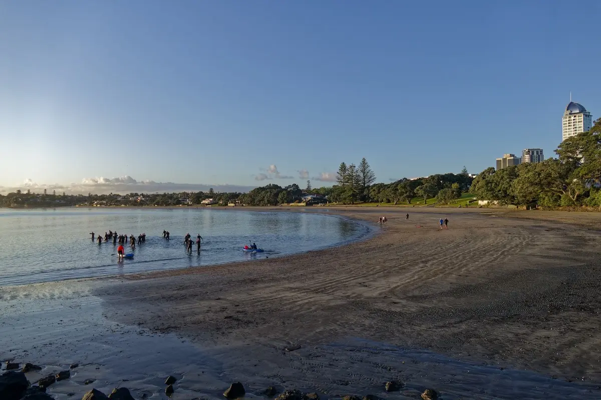
Devonport beach at dawn — a swim squad getting an early start before the ferry crowds arrive.
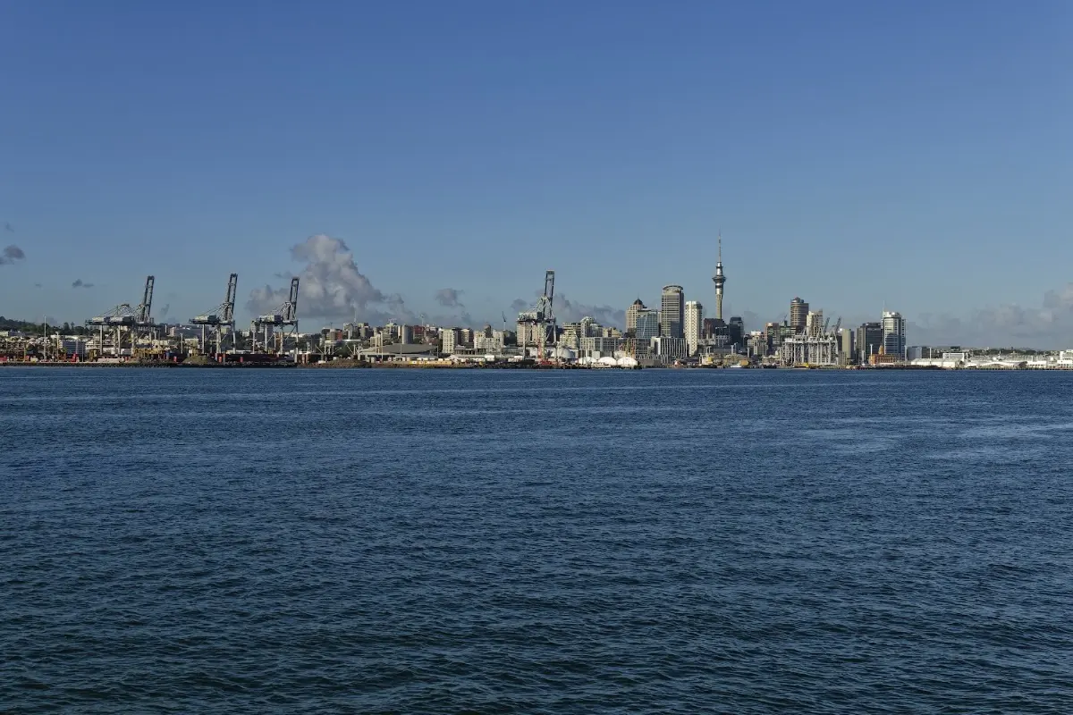
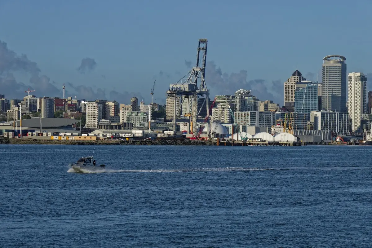
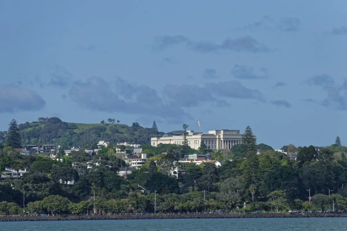
Auckland's skyline from the first ferry of the day, before the transfer out to Coromandel.
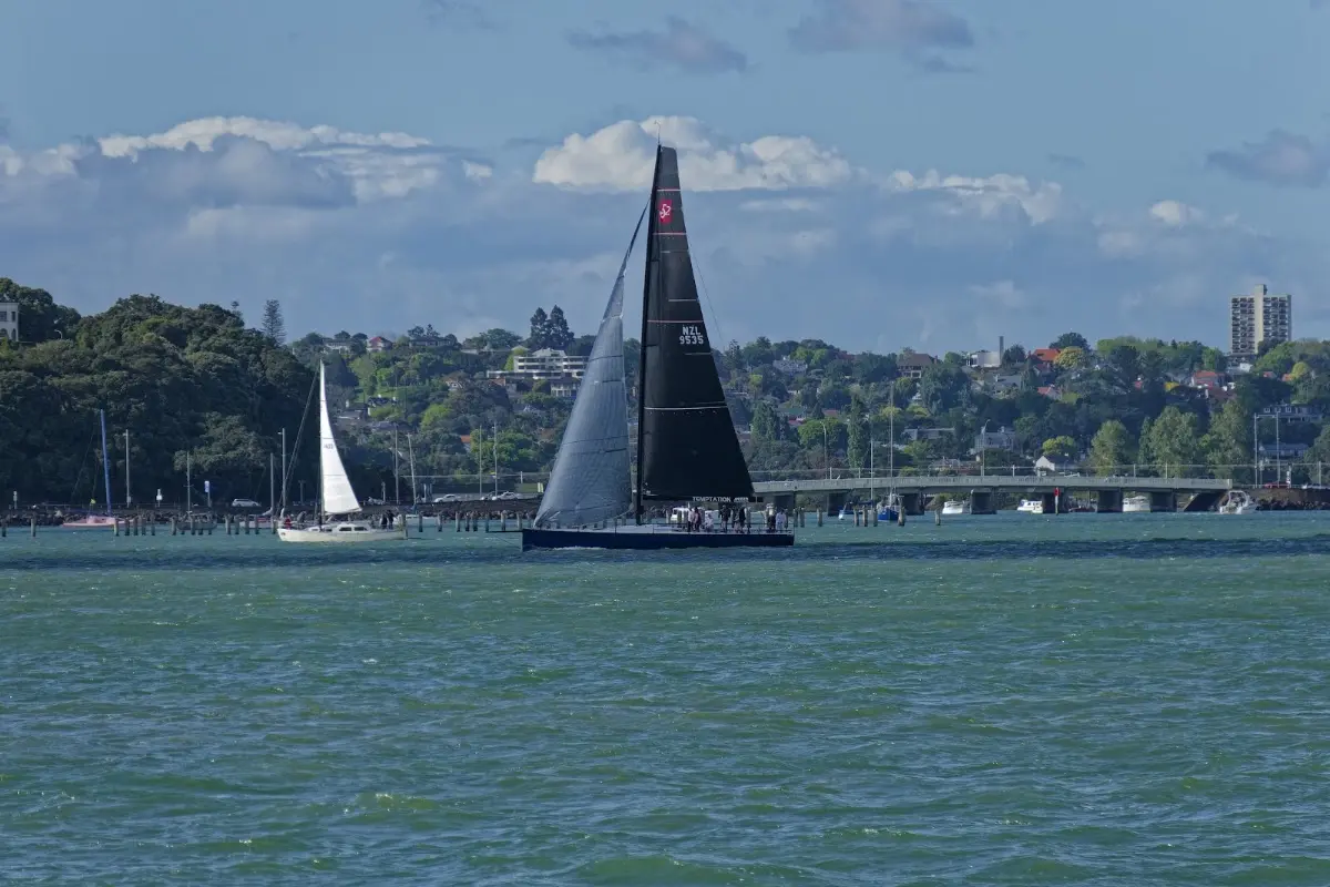
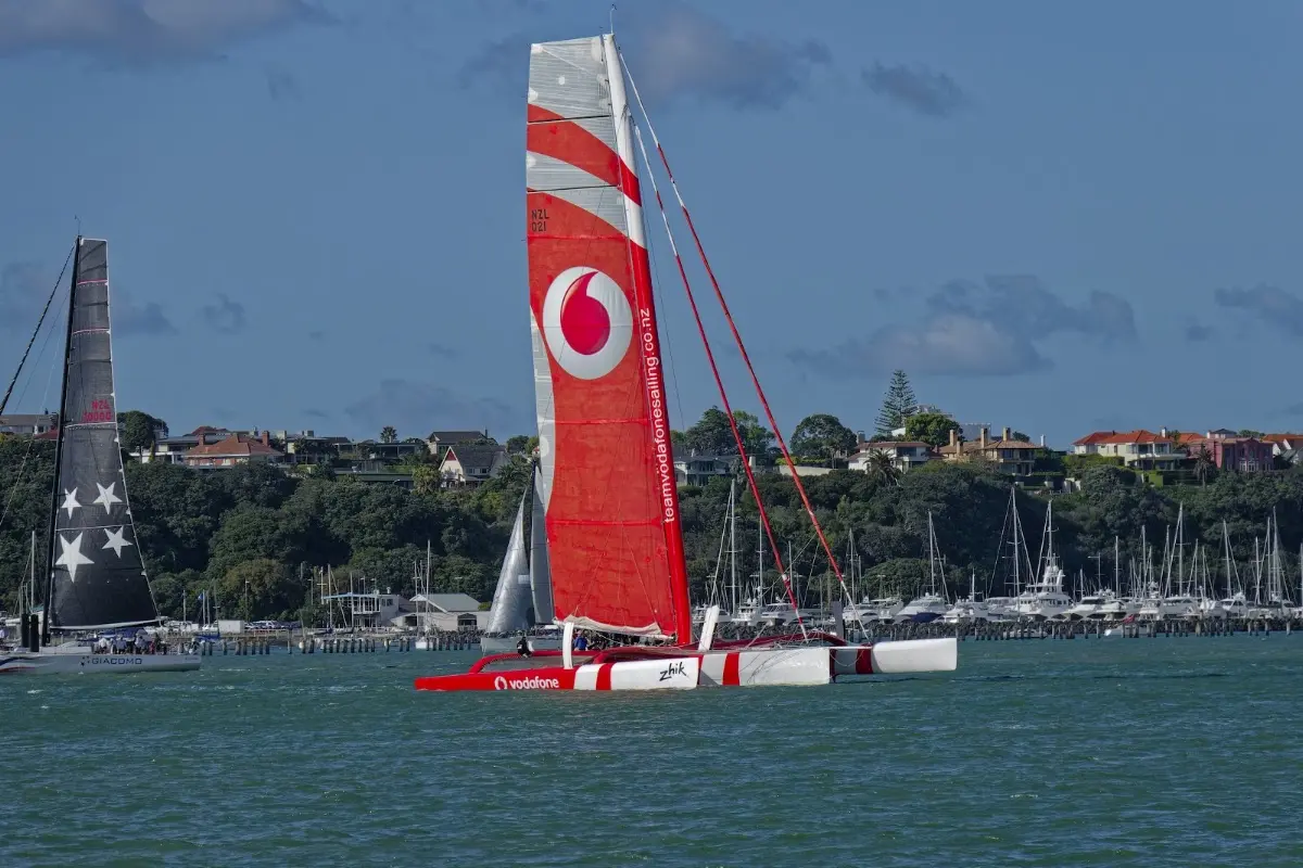
A Vodafone-sponsored racing catamaran training on the harbour — Auckland's sailing culture on full display, even on a Saturday morning ferry ride.
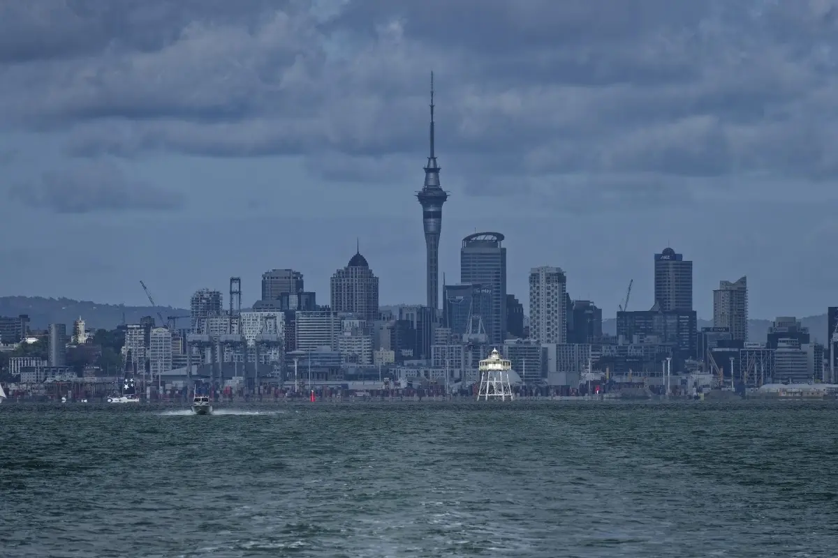
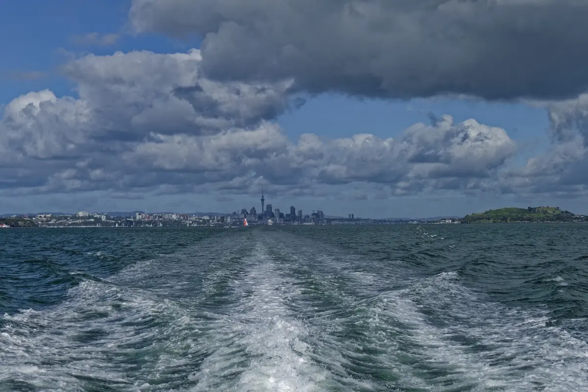
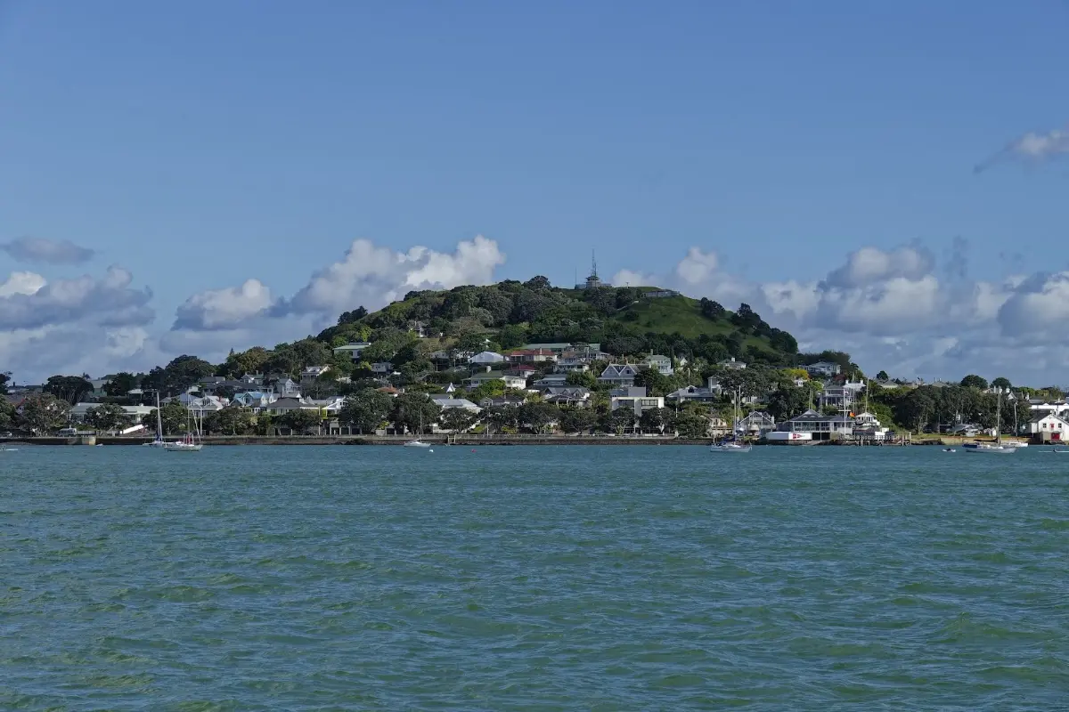
Auckland shrinking into the ferry's wake, with two hours of island-hopping ahead before Coromandel.
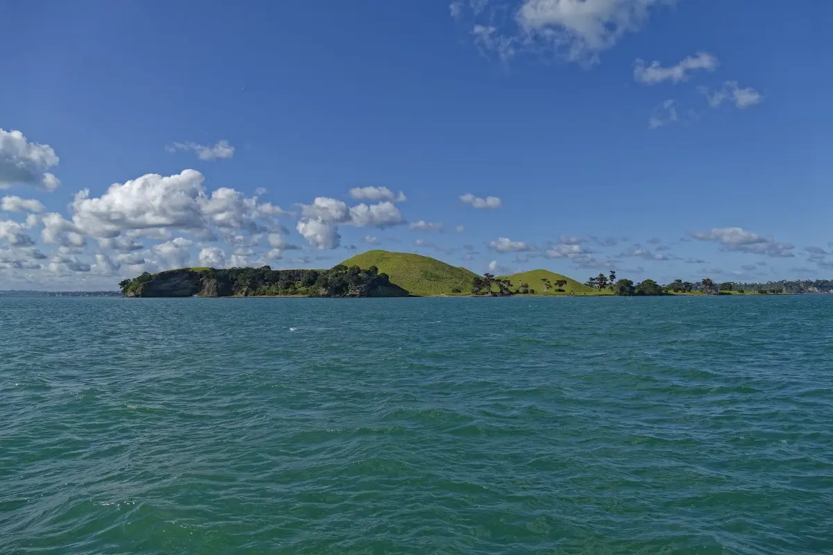
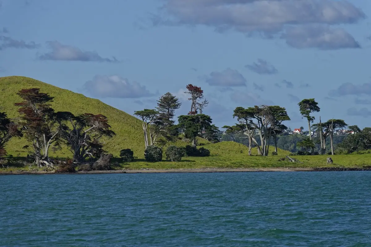
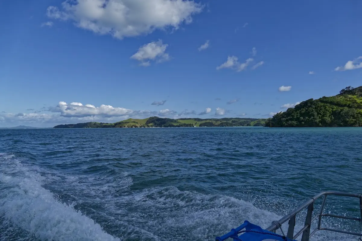
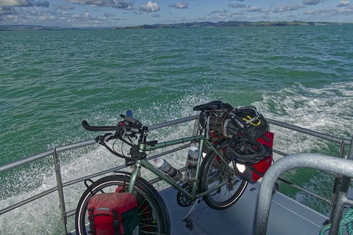
The bike getting its own sea crossing — strapped to the ferry railing for the ride across the gulf.
Coromandel Peninsula
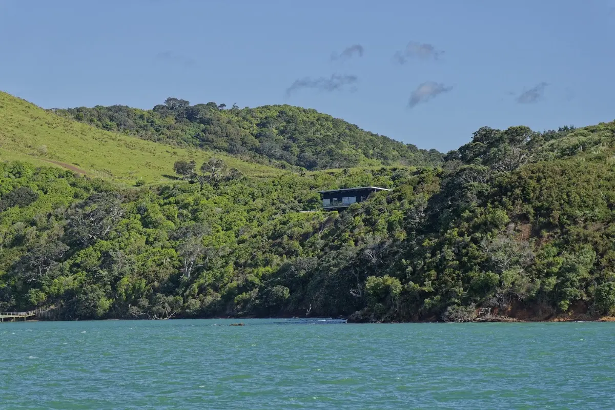
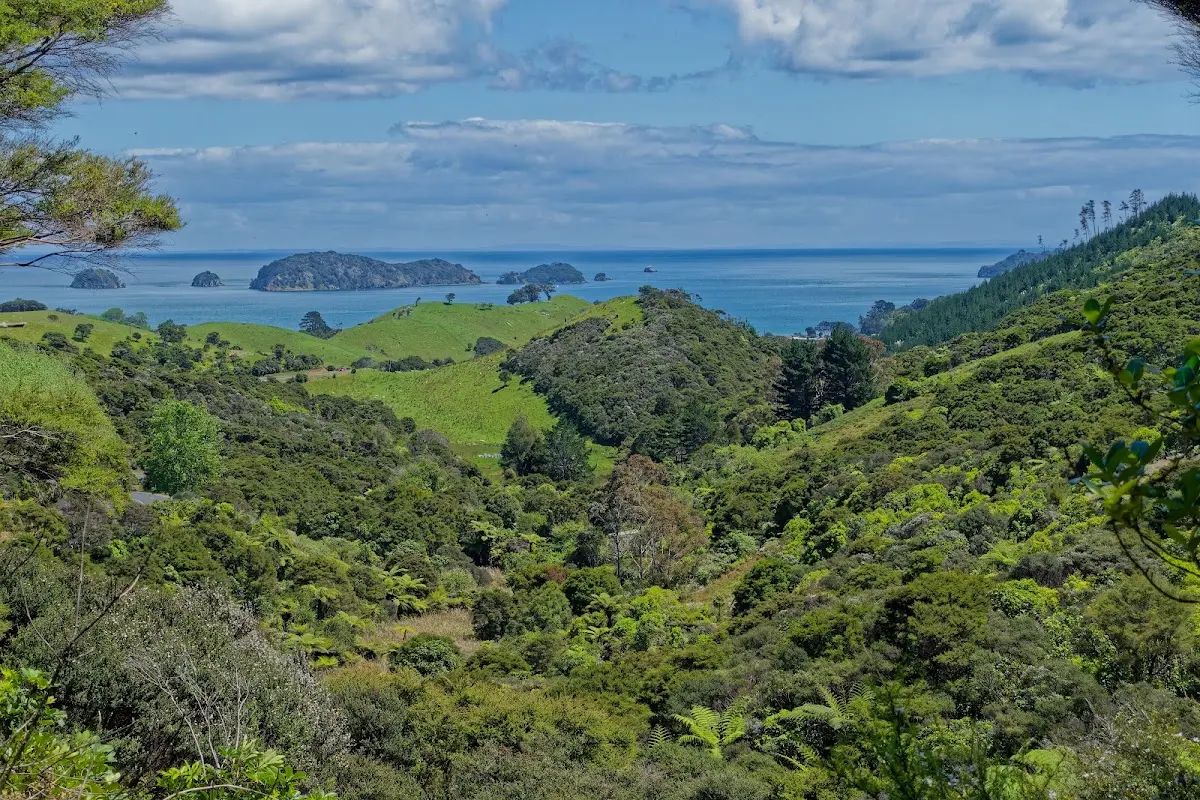
The Coromandel Peninsula is one of the North Island's most distinctive coastal regions: steep, bush-covered, and much more rugged than the map first suggests. It forms a long barrier between the Pacific Ocean and the Hauraki Gulf, with most settlements squeezed into narrow strips along the coast while the interior remains hilly and forested. Even though it lies relatively close to Auckland, large parts of the peninsula still feel remote.
Its Māori name, Te Tara-o-te-Ika-a-Māui, means "the barb of Māui's fish," linking the peninsula to the wider Māori story of the North Island as the fish hauled from the sea by Māui. The English name comes from HMS Coromandel, a Royal Navy ship that visited in the early 19th century. Gold, kauri timber, beaches, geothermal activity, and an unusually beautiful coastline have all helped shape the peninsula's history and character.
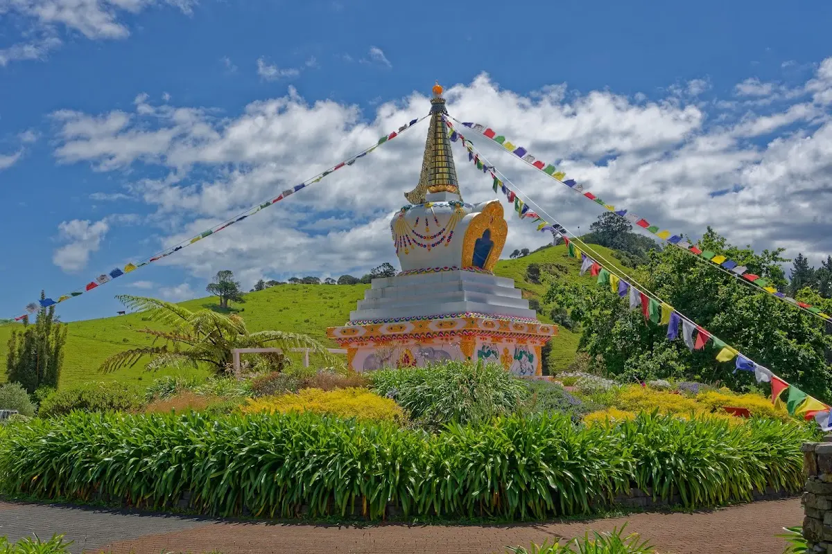
An unexpected sight on the way to Colville — a Buddhist stupa and prayer flags in the middle of dairy country.
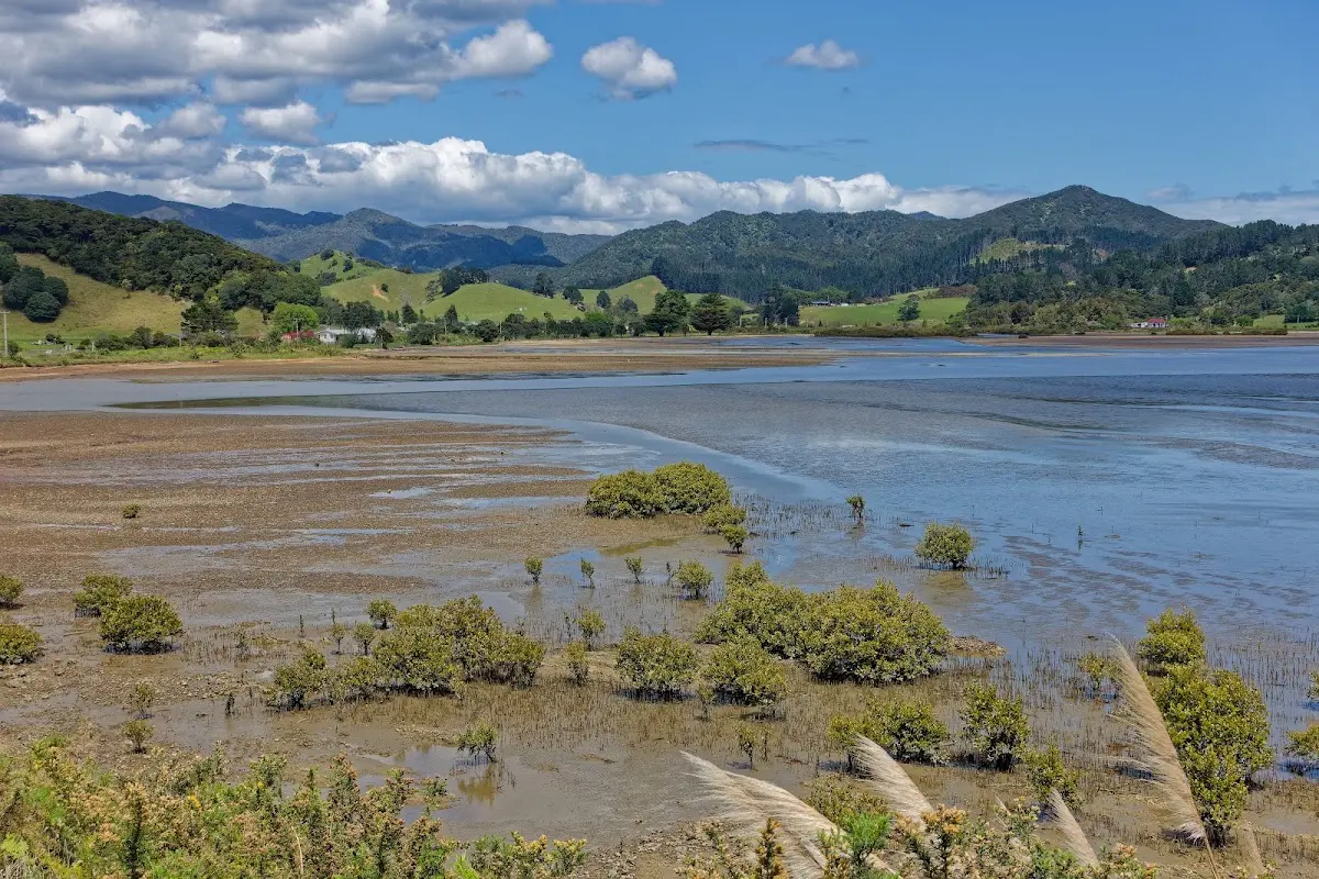
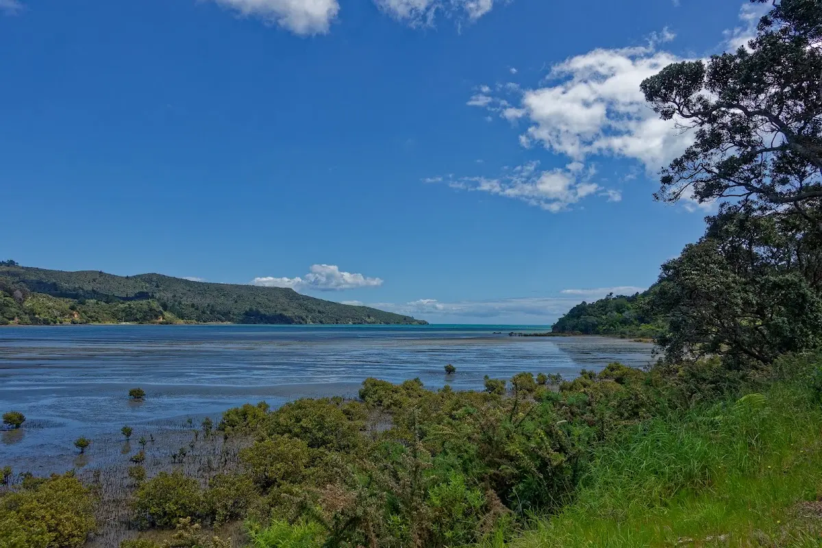
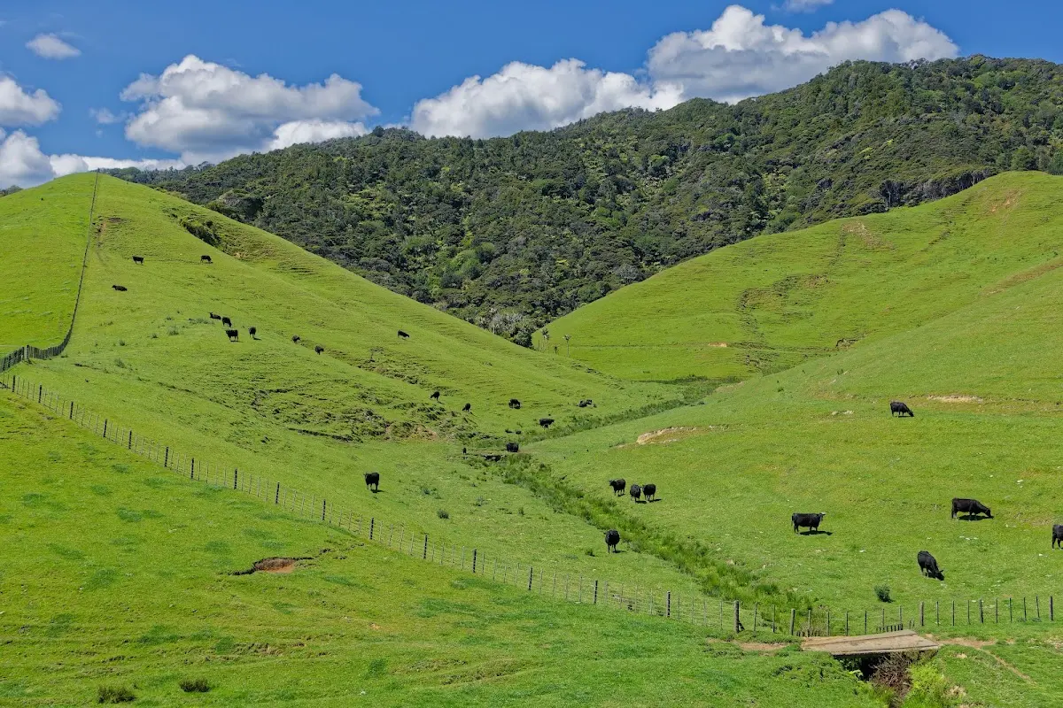
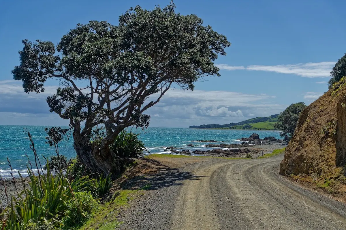
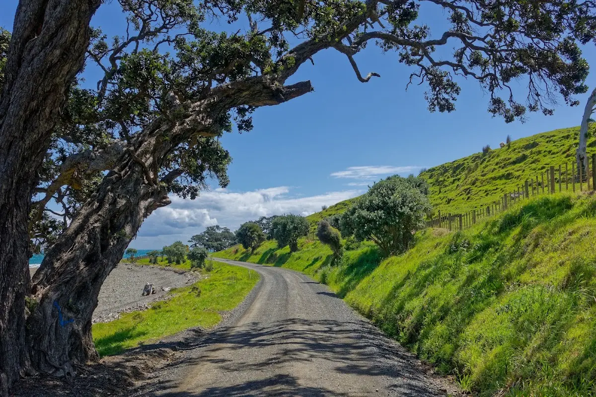
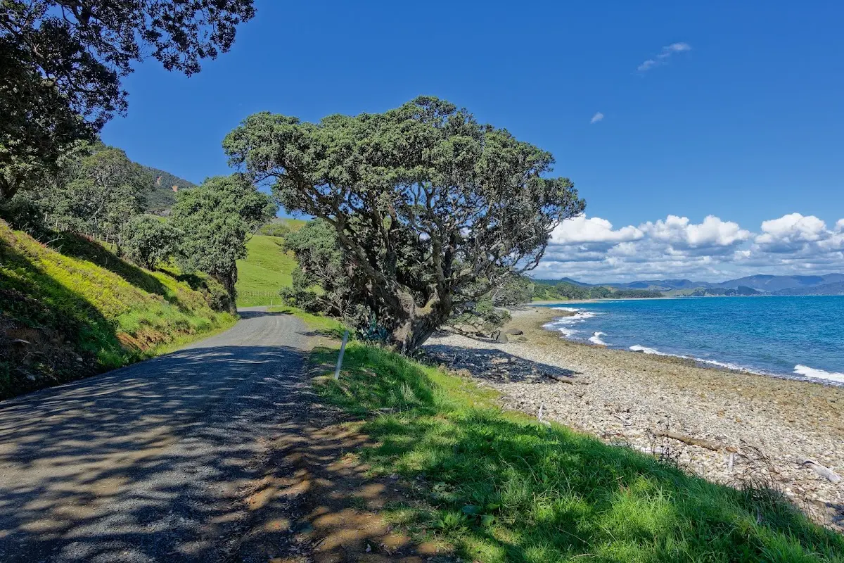
Fletcher Bay's coast road — pōhutukawa leaning out over the water at almost every turn.
Māui - Te Tara-o-te-Ika-a-Māui
Because the Māori name of the Coromandel Peninsula, Te Tara-o-te-Ika-a-Māui, means "the barb of Māui's fish," it is worth recalling one of the best-known Māori traditions. In that story, Māui hauled up a giant fish from the sea; this became the North Island, Te Ika-a-Māui. In some traditions, his canoe became the South Island, Te Waka a Māui. The rugged outlines of the land were then shaped by what happened to the fish after it was pulled ashore.
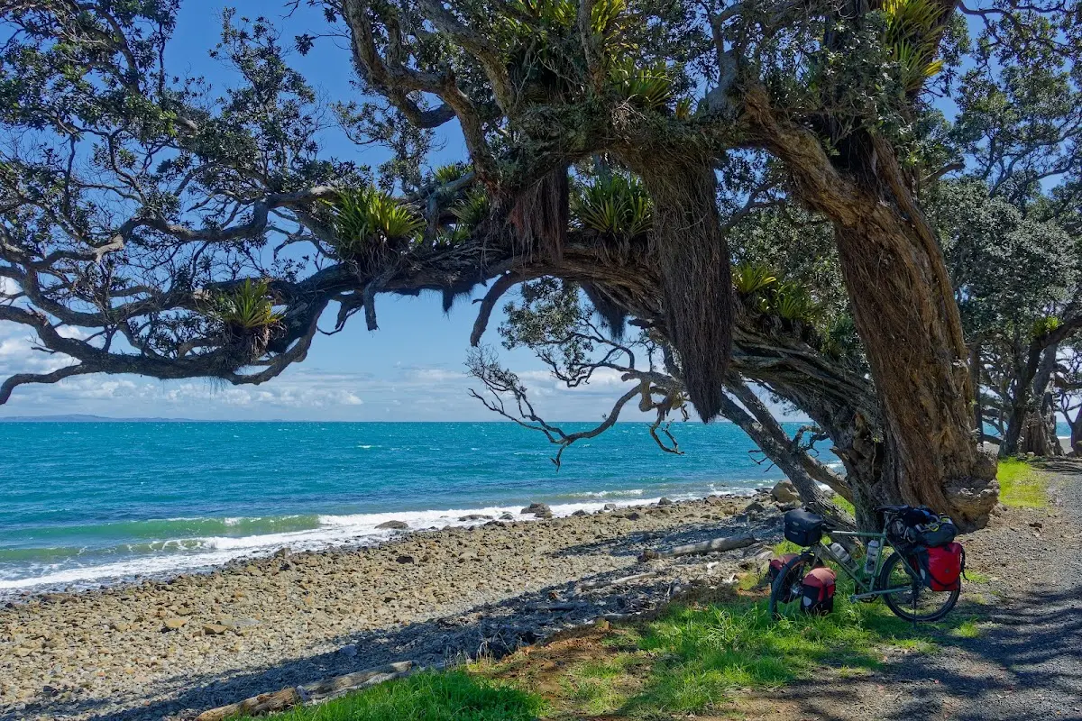
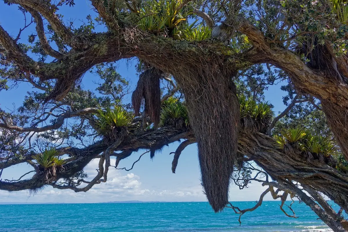
The bike parked under one of Fletcher Bay's ancient pōhutukawa — this is what five hours of hills and gravel got me.
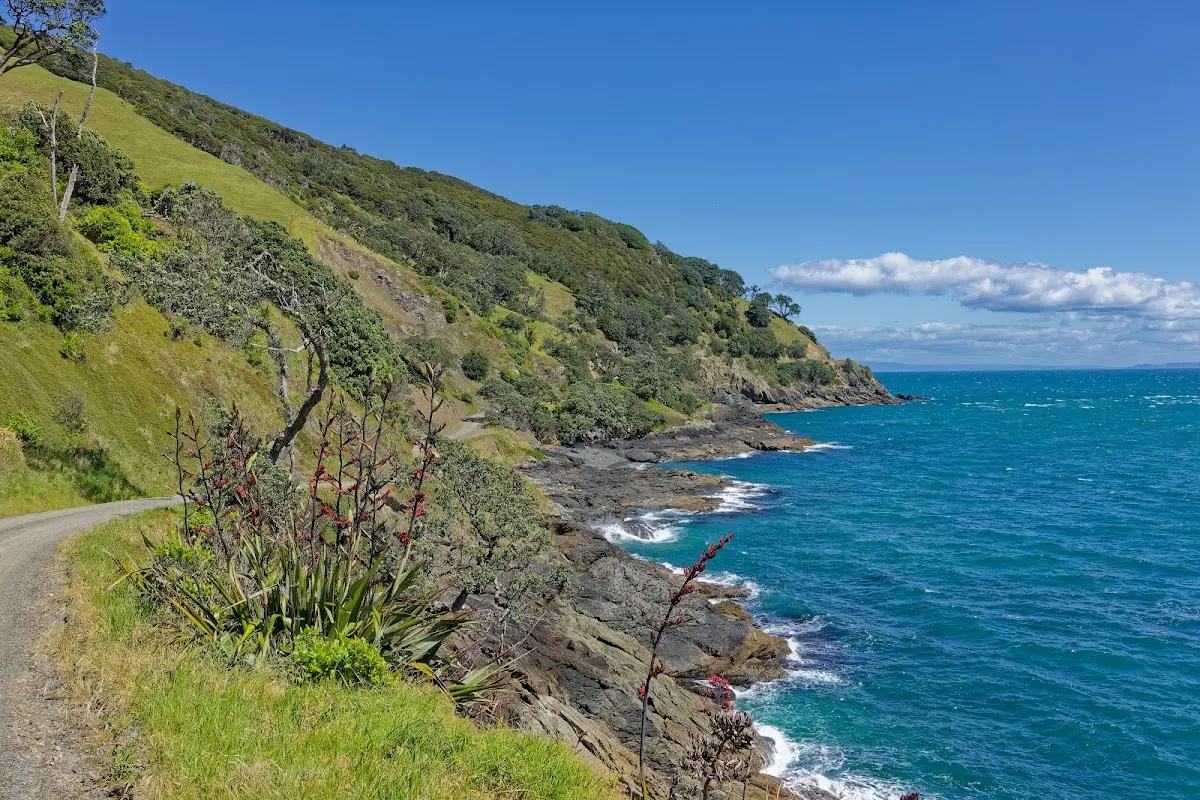
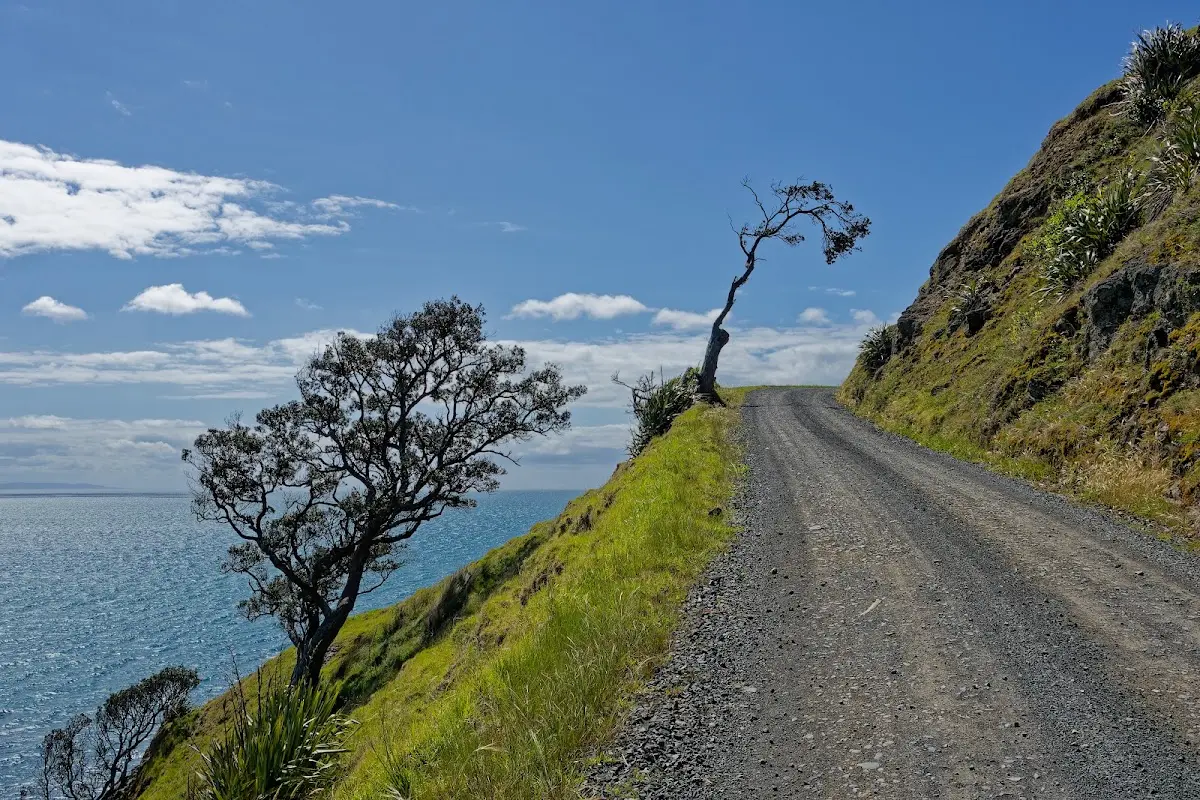
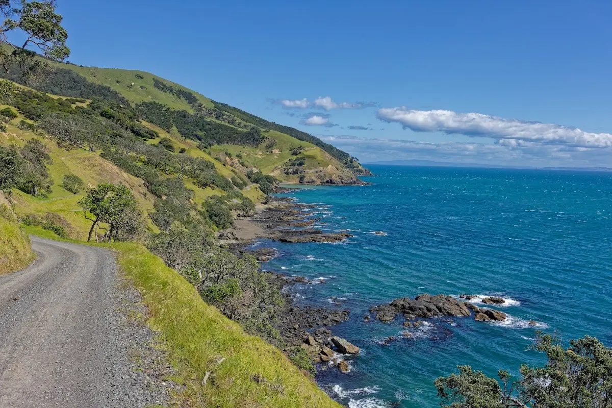
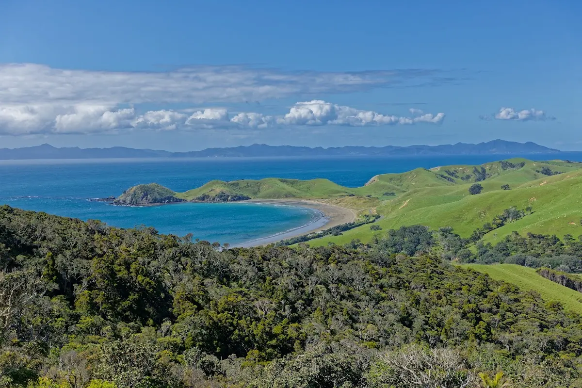
The view from the Coromandel Walkway that evening — worth every one of the five hours it took to get out here.
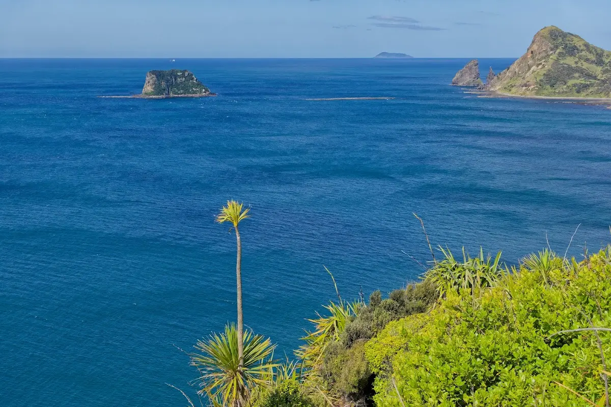
Looking out toward the outer islands from the walkway.
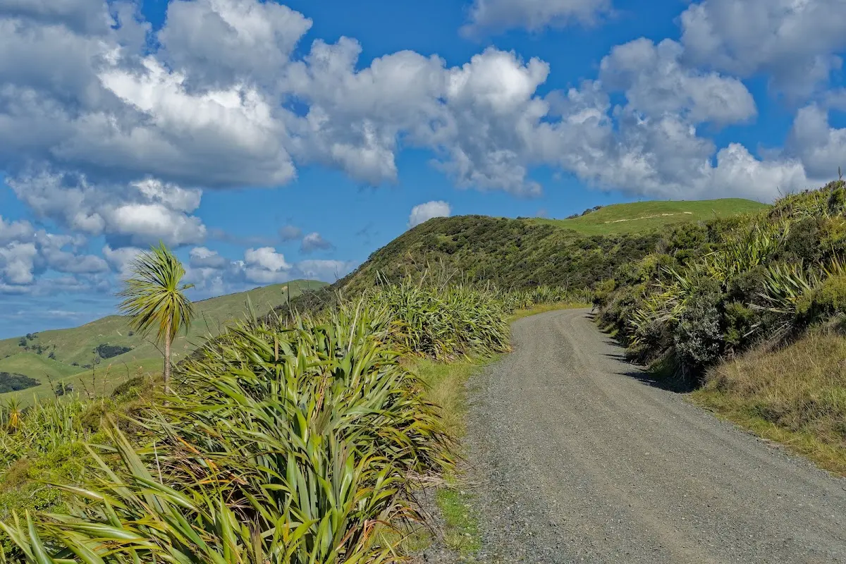
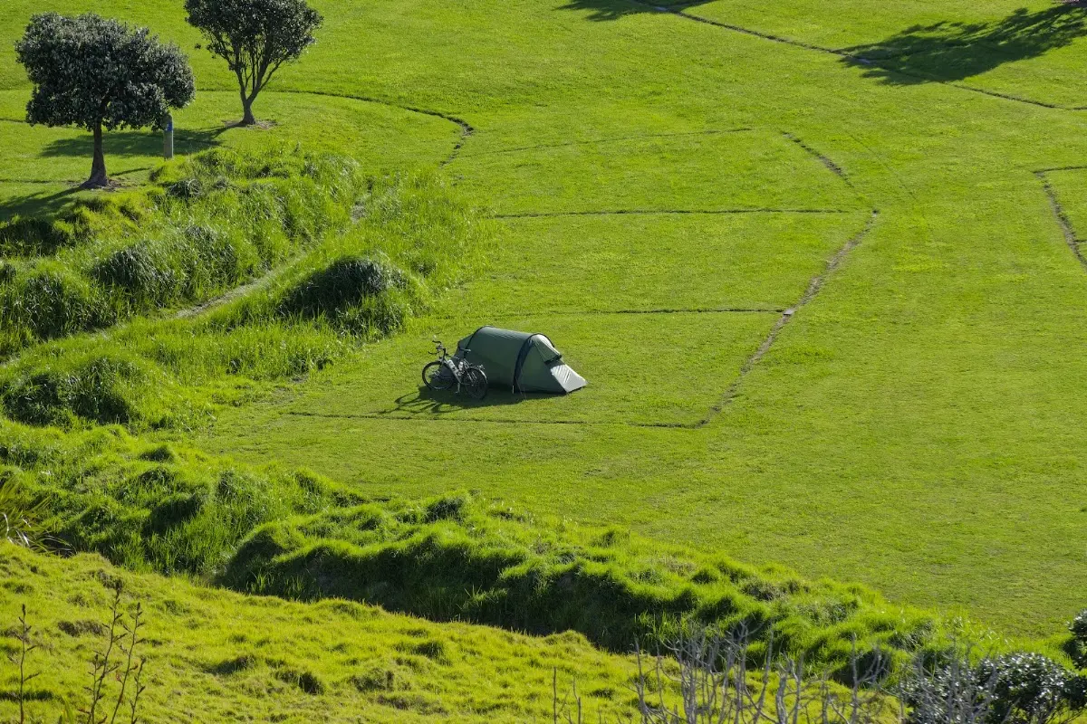
Home for the night — tent pitched in a huge, empty paddock at the Fletcher Bay campsite.
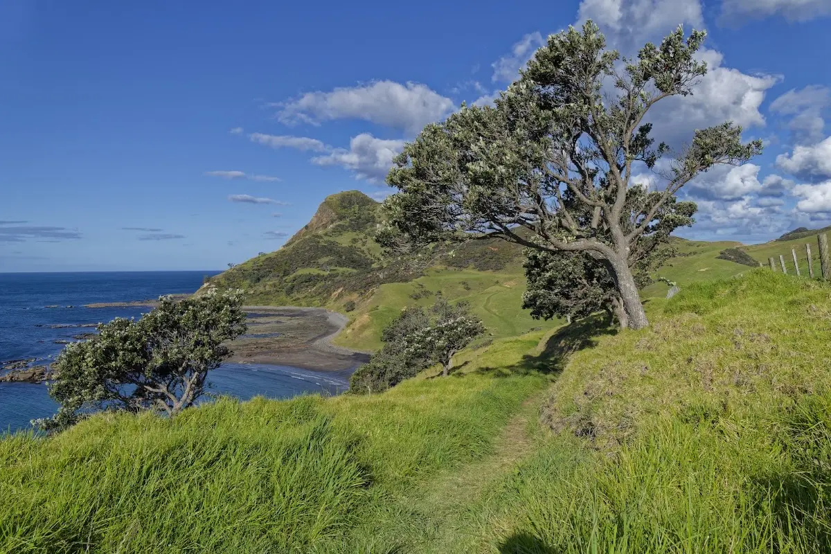
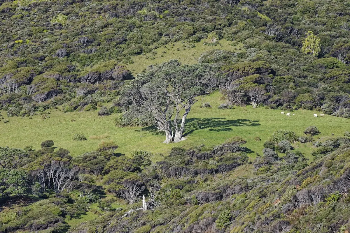
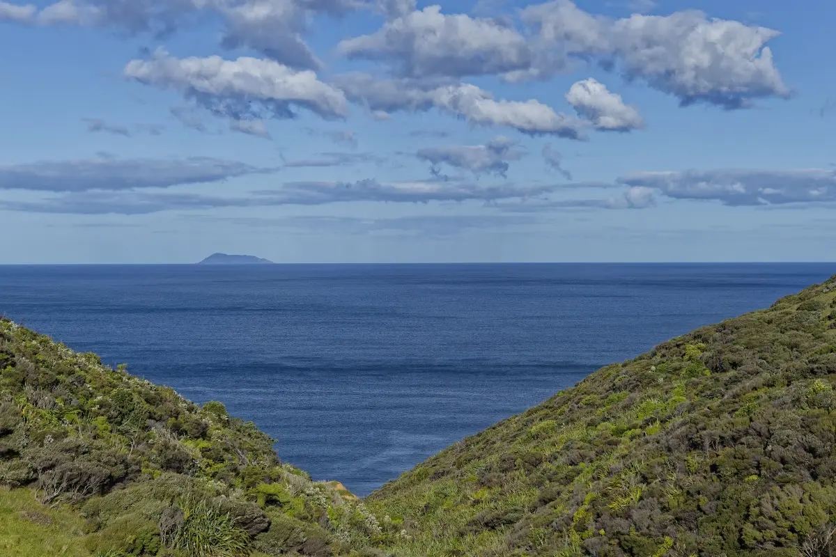
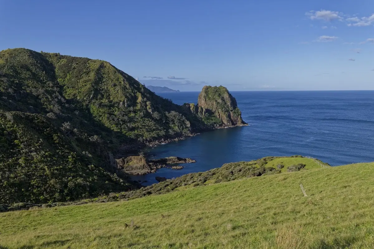
One of the walkway's rock stacks, jutting straight out of the cliffs.
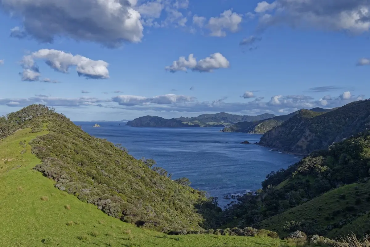
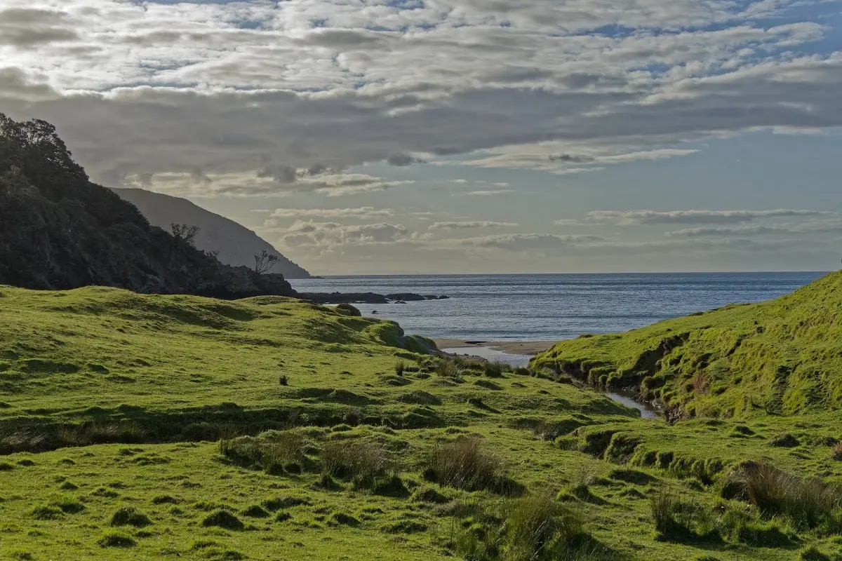
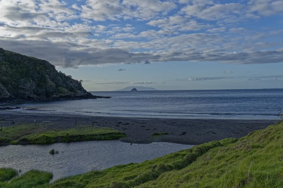
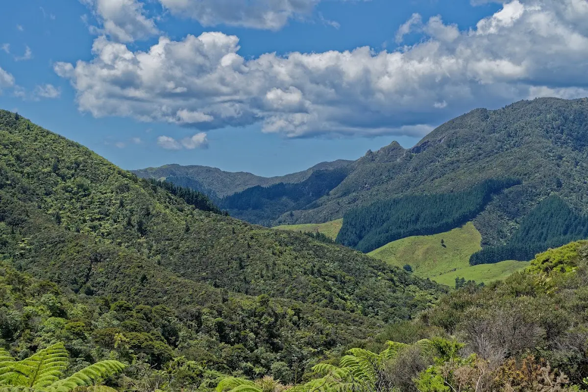
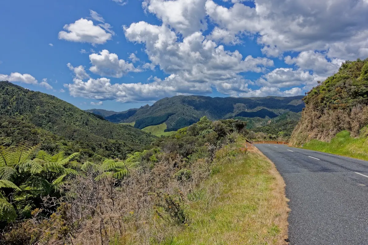
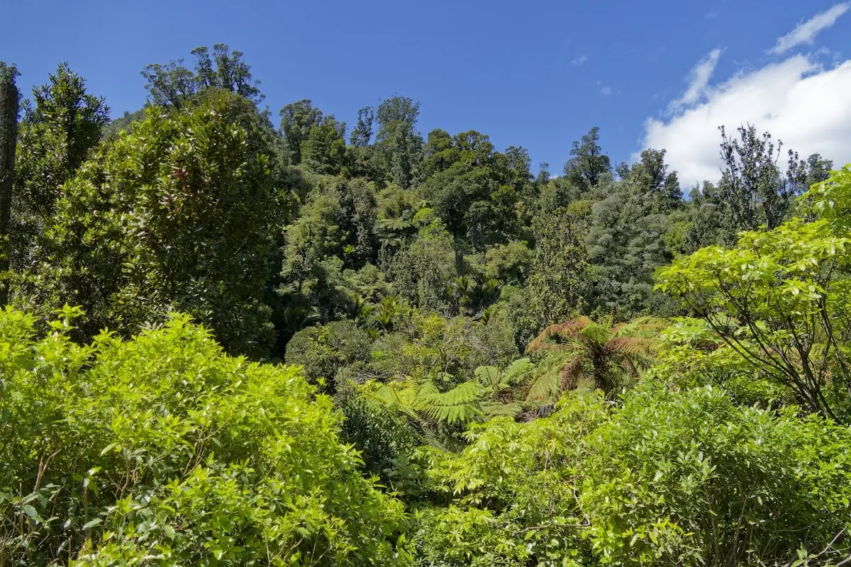
The first question I was asked at 6:15 a.m. in Fletcher Bay was: "How did the game go?" Neither of us knew. I found out later in a café in Coromandel: New Zealand had beaten Australia and become rugby world champion. The full match was everywhere in the newspapers, in thousands of photos. It took quite a while to cycle back from Fletcher Bay via Colville to Coromandel. The roads were rough and hilly, so my average speed was not particularly impressive. But the stretch from Colville to Coromandel via Road 309 felt like rainforest or jungle, and it was well worth it. Later I reached the so-called Hot Water Beach and dug a hole in the sand like so many other tourists. I also got a Top 10 campground membership card, which gives 10% discount there and also on the Interislander ferry, whale watching, and a few other things. Today: 110 km in 7.2 hours.
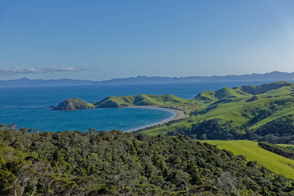
Fletcher Bay in the morning — 6:15 a.m., campers already stirring.
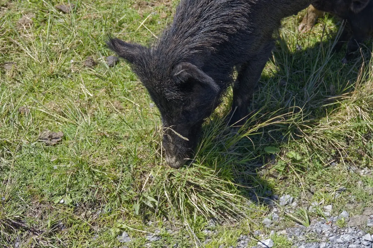
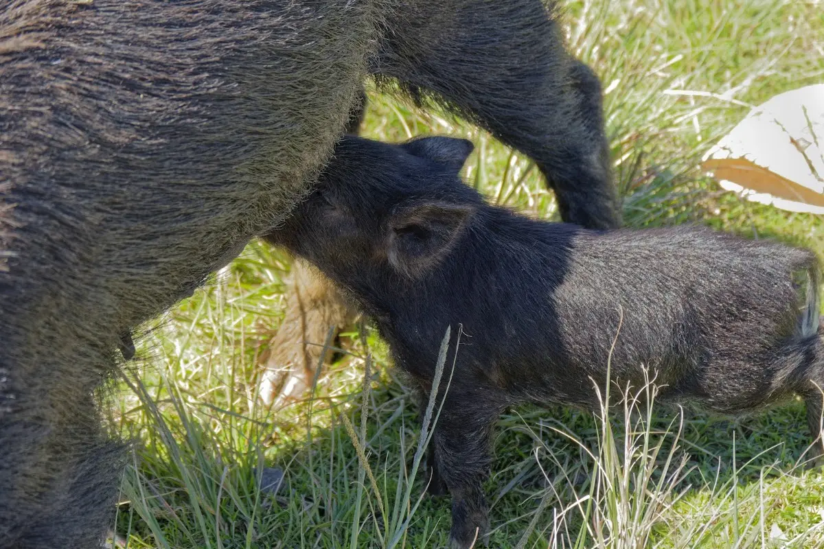
Wild pigs are a common sight along Road 309 — this piglet stayed close to the verge, unfazed by passing traffic.
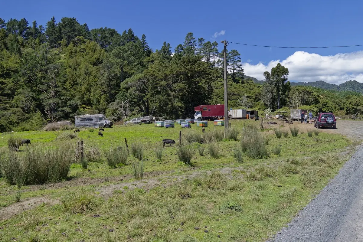
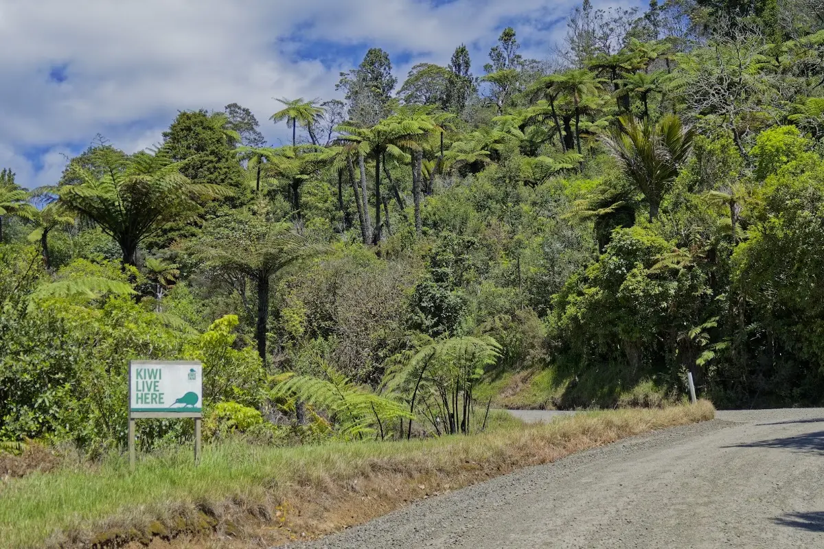
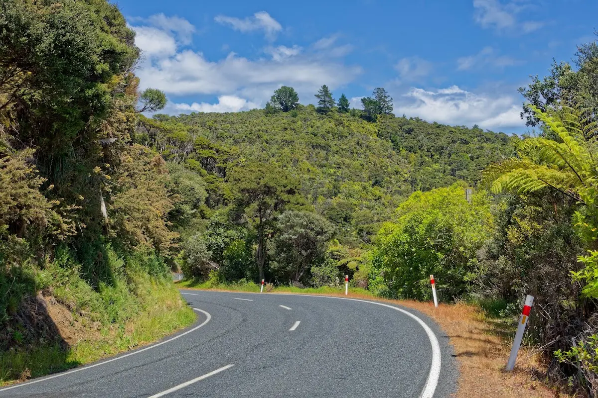
Road 309 living up to its reputation — tree ferns, dense bush, and a reminder of who else lives here.
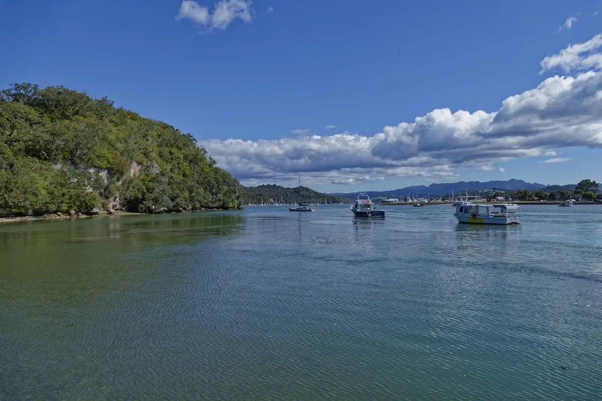
Whitianga's harbour entrance, gateway to Hot Water Beach and Cathedral Cove.
Whitianga
Whitianga is one of the main towns on the Coromandel Peninsula, lying on Mercury Bay. Its Māori name, Te Whitianga o Kupe, is usually linked to the explorer Kupe, and the wider bay also has strong historical associations with early Māori settlement and with James Cook, who visited in 1769. Today Whitianga is an important holiday centre and one of the practical gateways to places such as Hot Water Beach and Cathedral Cove.
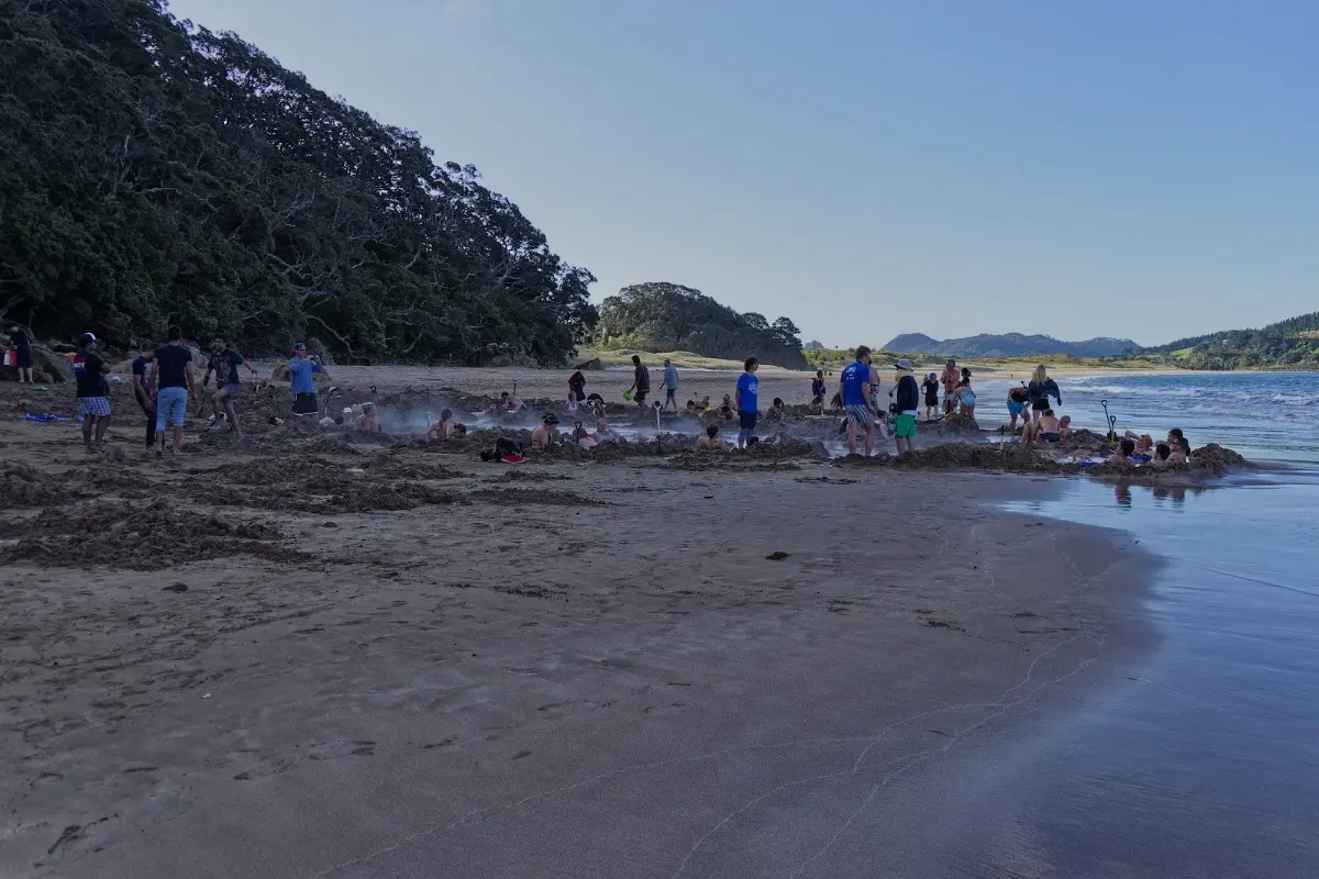
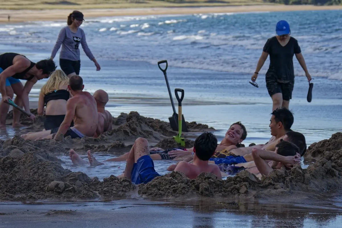
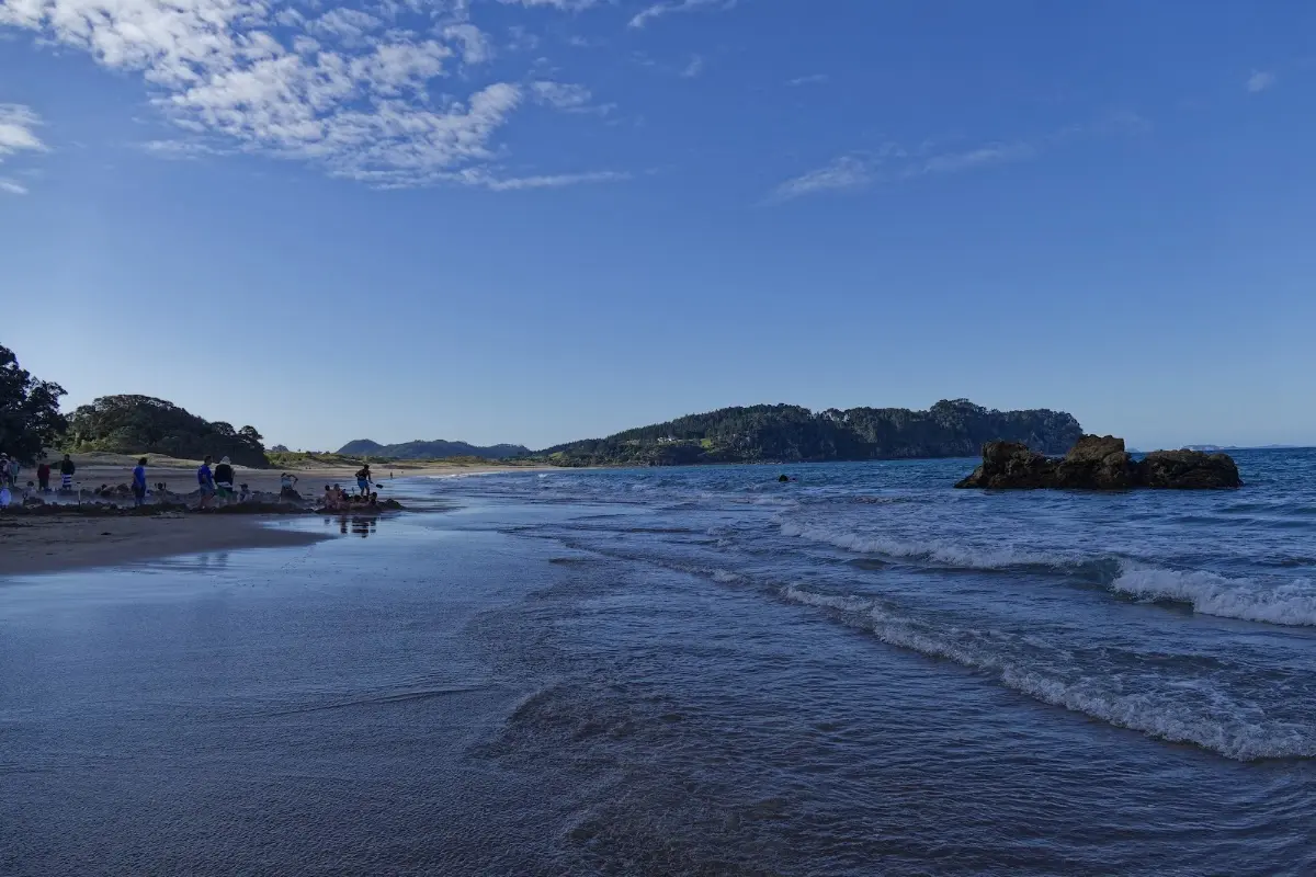
Hot Water Beach at low tide — everyone digging their own personal hot pool in the sand.
Hot Water Beach
Hot Water Beach is one of the Coromandel's best-known attractions. At low tide, hot geothermal water rises through the sand near the shoreline, allowing visitors to dig their own temporary pools. It is an odd but memorable mixture of beach, hot spring, and tourist ritual, and one of those places where almost everybody ends up doing exactly the same thing — digging a hole and sitting in it.
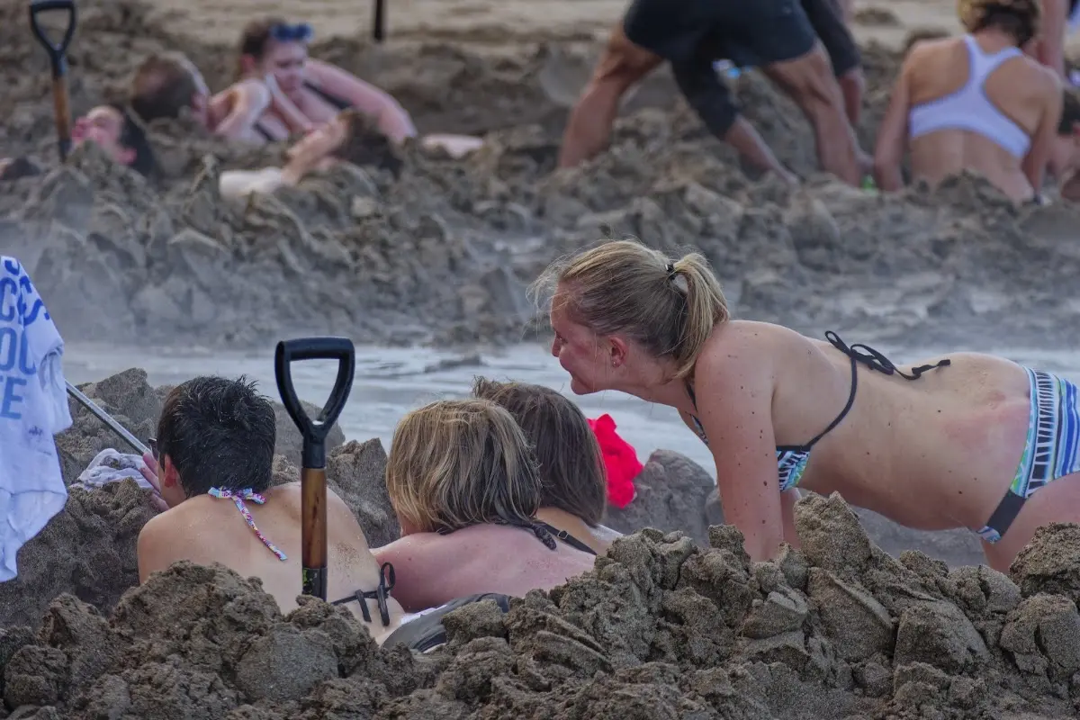
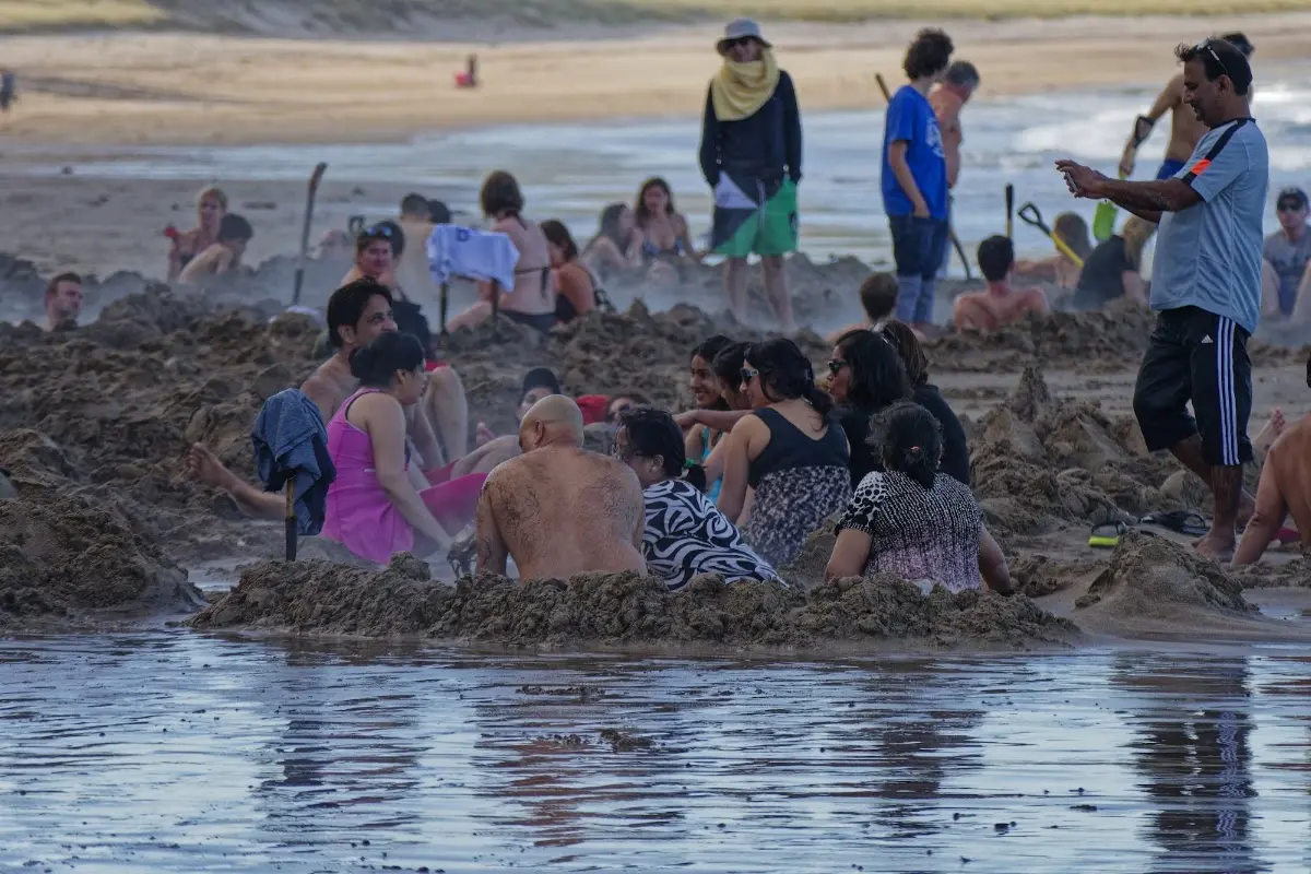
Once the hole is dug, hot water bubbles up right through the sand — an odd but genuinely relaxing experience.